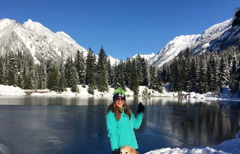
13 Best Overnight Backpacking Trips in Washington: By a Local

If you’re searching for the best overnight backpacking trips in Washington, these 13 routes bring together alpine basins, long ridgelines, glacier views, and deep wilderness zones that feel far from trailhead crowds. Washington summer backpacking is short but packed with high payoff trails once the snow clears and the high country opens up.
The trails in this guide lean towards moderate to difficult ranges, giving you the kind of overnight trip where planning, fitness, and timing all matter. These aren’t the trails listed on every “best of” post. They’re the ones that sit a little further out, with fewer people and bigger views.
Must-Have Backpacking Gear:
– Fastest Jetboil: Jetboil Zip
– Most Durable Hiking Poles: Black Diamond Alpine Poles
– Best Backpacking Boots: KEEN Targhee Waterproof Boots
13 Ultimate Overnight Backpacking Spots
1. Glacier Peak
- Permits: Backcountry permit
- Distance from Seattle: 2 hrs
- Length: 36.4 mi
- Elevation Gain: 10,879 ft
- Best Time: May – September
- AllTrails Link
- Dogs Allowed: No
This route links the White Pass Trail, the PCT, and the Suiattle River Trail. The loop covers a range of alpine terrain, including deep forest, river valleys, high ridges, and open meadows. It crosses several passes and requires consistent elevation gain and descent each day. Campsites are spaced far apart, so it demands daily mileage planning and confidence in route-finding where signage thins out.
Several river crossings aren’t bridged, so be extra careful – especially in the early season when water runs high. This trail is best for experienced backpackers with a strong fitness base and backcountry navigation skills. The effort is balanced by consistent views of Glacier Peak from different angles and extended time in wilderness that sees fewer visitors.
2. Copper Ridge Loop
- Permits: Northwest Forest Pass + Backcountry Permit
- Distance from Seattle: 2 hrs + 15 min
- Length: 22.9 mi
- Elevation Gain: 6,811 ft
- Best Time: July – September
- AllTrails Link
- Dogs Allowed: No
Copper Ridge Loop climbs fast from the Hannegan Trailhead to a fire lookout with wide views over the North Cascades. From there, the trail drops into the Chilliwack River Valley, crosses the river by cable car, then climbs steeply back up along Brush Creek. It’s a loop with big elevation shifts and long stretches between camps.
Permits are issued through the North Cascades lottery in March. Sections like Copper Lake and Egg Lake fill early. Camps are assigned, and staying on schedule matters. Most backpackers complete the loop in four to five days.
3. Esmeralda Peak Loop
- Permits: Northwest Forest Pass
- Distance from Seattle: 2 hrs + 30 min
- Length: 11.5 mi
- Elevation Gain: 2,844 ft
- Best Time: July – November
- AllTrails Link
- Dogs Allowed: Yes – on leash
Esmeralda Peak Loop is a solid overnight trip that packs in high-elevation views, rugged ridgelines, and wildflower meadows without needing a massive mileage commitment. You’ll love the mix of open alpine terrain and dramatic drops into valley basins, with spots like Lake Ann offering prime camp setups and cold water access.
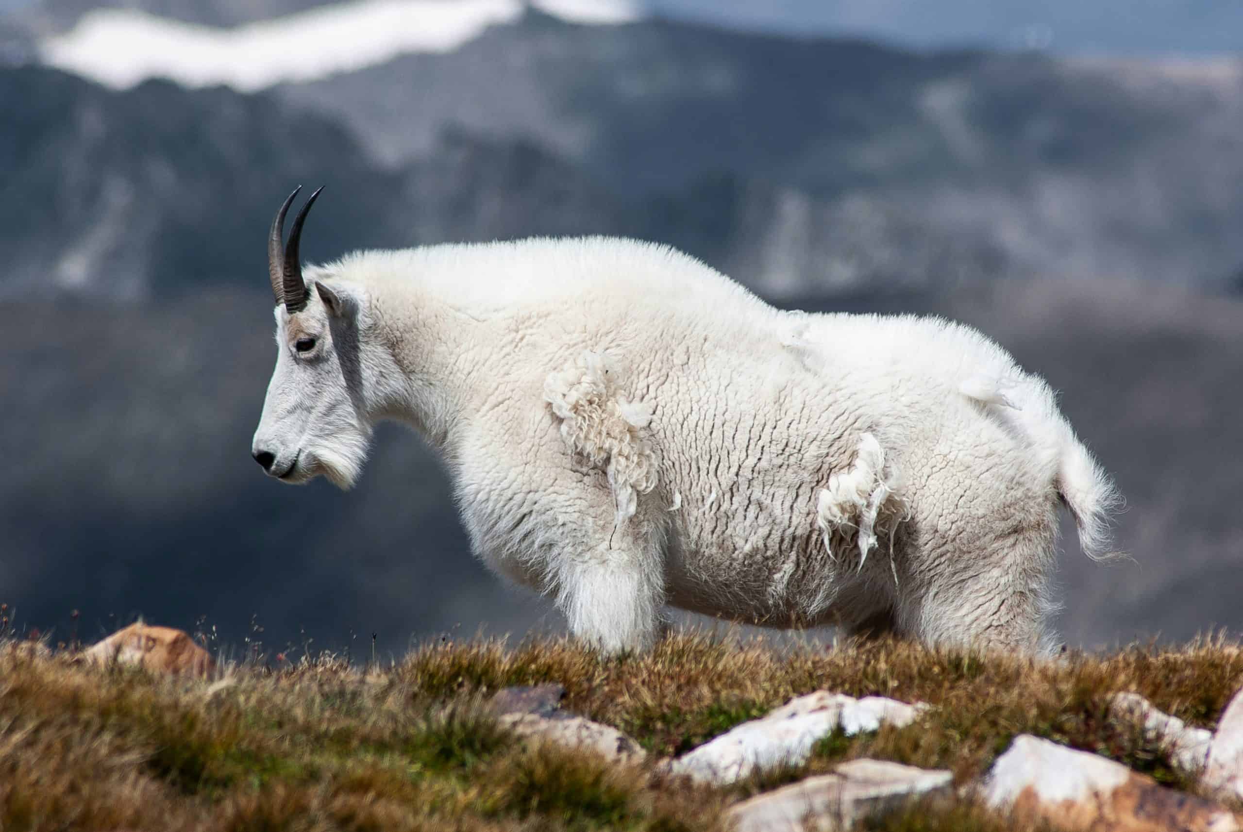
You’ll get golden light over the Teanaway, long stretches of open trail, and chances to spot mountain goats across the rock bands. Perfect for those looking for that high-country feel without the permit grind or full-weekend haul.
4. Black Peak via Wing Lake Trail
- Permits: Need a reservation ahead of time
- Distance from Seattle: 3 hrs + 30 min
- Length: 11.4 mi
- Elevation Gain: 5,137 ft
- Best Time: May – October
- AllTrails Link
- Dogs Allowed: Yes – on leash
- ❗️*Technical Trail – Recommended for advanced hikers/climbers*
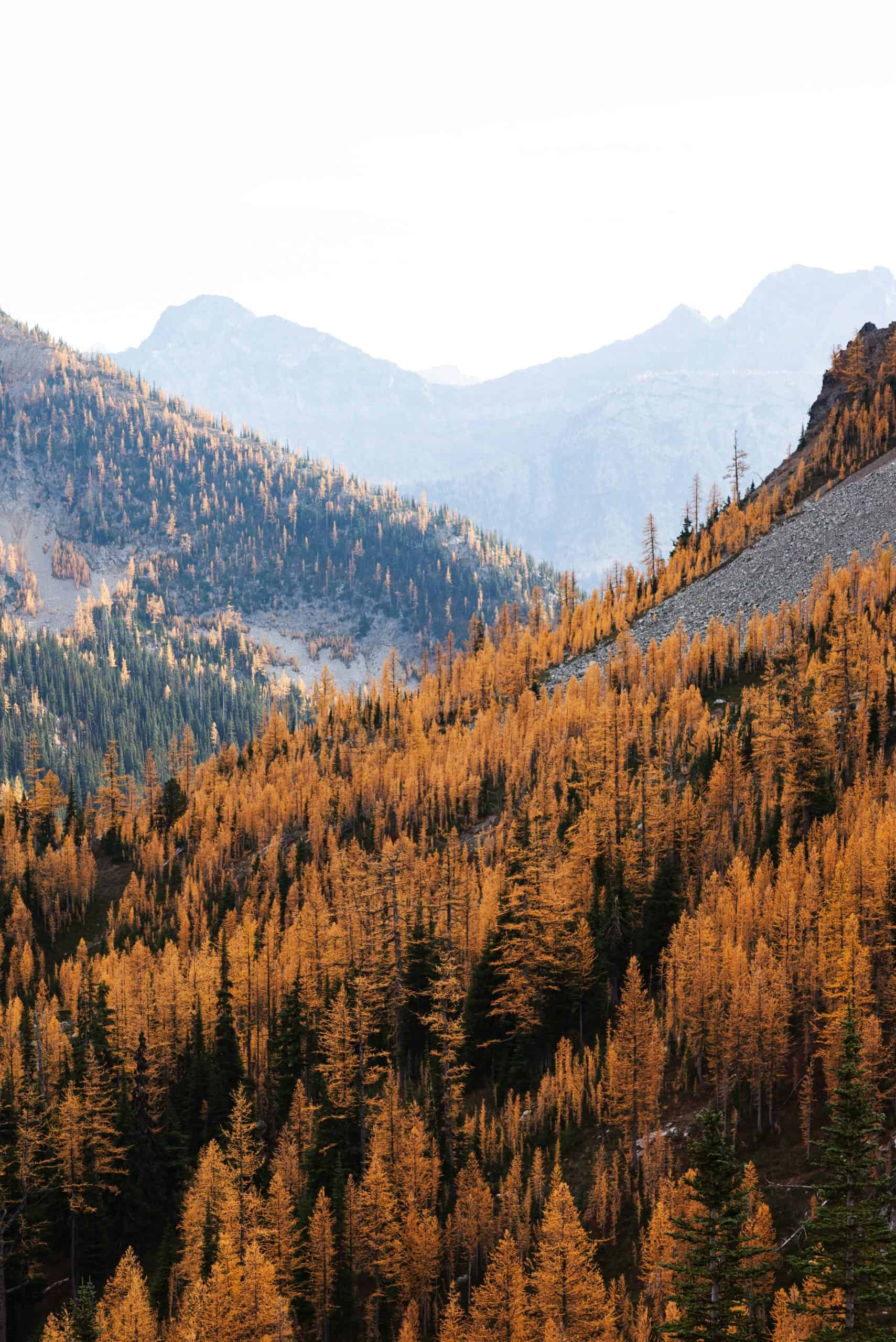
The trail to Wing Lake begins along the Maple Pass Loop before branching toward Lewis Lake and then up to Wing Lake. Past Lewis Lake, the terrain becomes steep and rocky. The final stretch to Wing Lake crosses boulder fields and loose rock. Camping is permitted at the lake with good water access. Larches ring the lake and are vibrant in late September. Us locals like to call this “Larch Madness” season.
Black Peak is accessible from Wing Lake via an unmarked scramble route. The scramble is non-technical but includes loose scree and minor exposure near the summit. Most backpackers stop at the lake, but those with alpine scrambling experience often add the summit.
Note: Snow can linger through July, so an ice axe and traction may be needed depending on the season. I don’t recommend this trail to those with little experience backpacking/climbing or those without backcountry skills.
5. Indian Heaven Wilderness Loop
- Permits: Northwest Forest Pass + Wilderness Permit
- Distance from Seattle: 4 hrs + 45 min
- Length: 13.2 mi
- Elevation Gain: 1,653 ft
- Best Time: May – November
- AllTrails Link
- Dogs Allowed: Yes – on leash
This loop links several trails in the Indian Heaven Wilderness, forming a network of lakes, forest, and volcanic plateaus. The area is known for huckleberry fields in late summer, which peak between August and early September. The trail system allows for multiple loop options, usually ranging from 15 to 25 miles. Most start from East Crater or Thomas Lake trailheads, depending on permit access and parking.
The terrain is moderate but varies with the time of year. Snow lingers late into the season, and mosquitoes can be thick until mid-August. Campsites are dispersed near many of the lakes, which makes route planning flexible. The area sees more traffic during berry season and larch changes, but midweek trips remain quiet.
6. Necklace Valley and Tanks Lake
- Permits: Self-issue Alpine Lakes Wilderness Permit (for both day & overnight use) + a Northwest Forest Pass
- Distance from Seattle: 1 hr + 45 min
- Length: 19.4 mi
- Elevation Gain: 4,960 ft
- Best Time: April – September
- AllTrails Link
- Dogs Allowed: Yes – on leash
- ❗️* Recommended for experienced hikers*
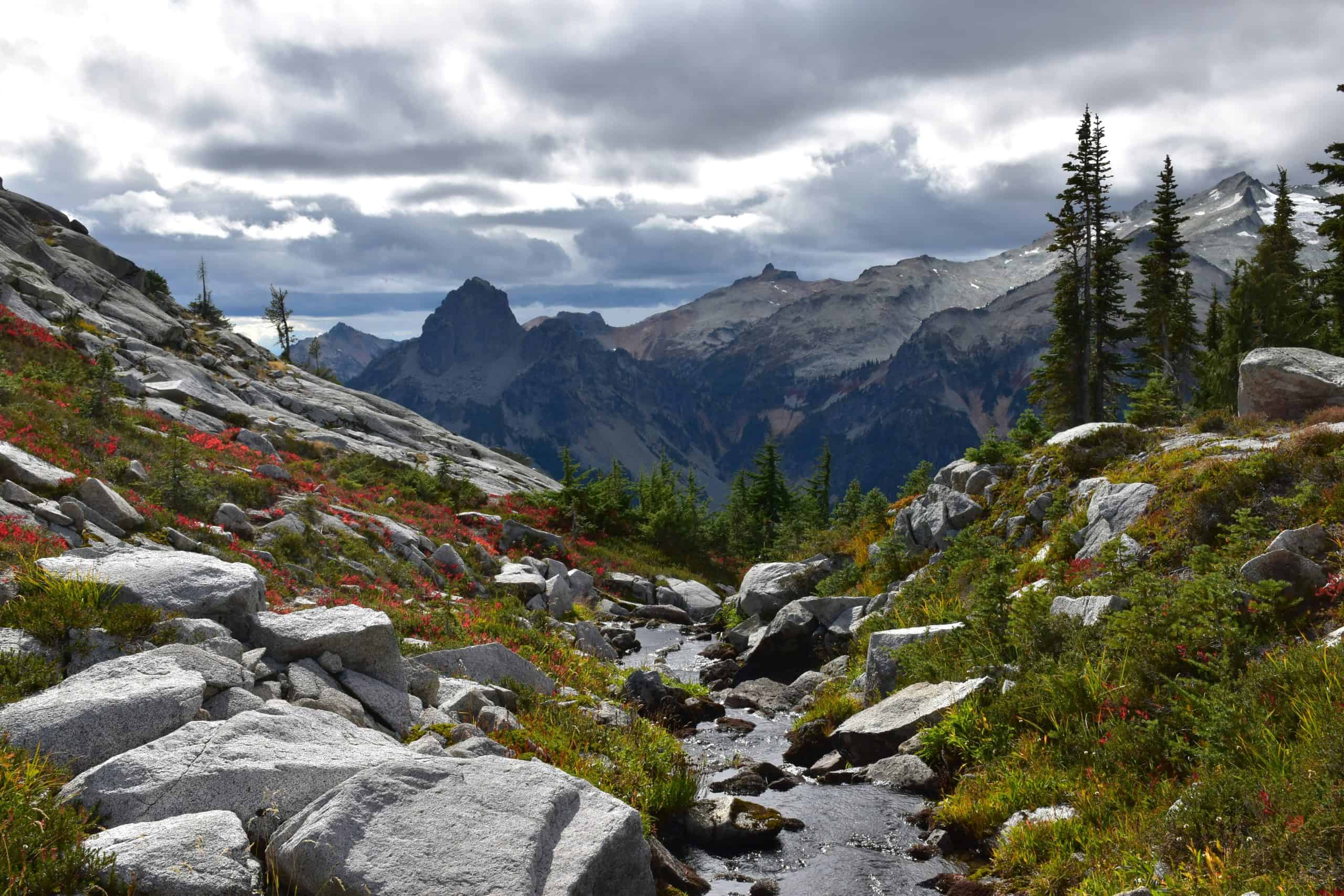
This is an out-and-back hike into the Alpine Lakes Wilderness, starting with a steady climb through forest and ending at a basin scattered with lakes, granite slabs, and boulder fields. The trail climbs sharply in the final few miles before reaching Jade Lake, with additional lakes (Opal, Emerald, Locket, and Tank) nearby. This section is rugged and often slow-going with rocky terrain.
Once you reach the basin, the views open up, and campsites are spaced around several lakes. While it’s not high mileage, the difficulty comes from the steep grade and trail condition. Many backpackers spend a second night exploring the upper lakes. Expect snow in early summer and icy water crossings. It’s not as trafficked as other Alpine Lakes destinations, but parking still fills quickly on weekends.
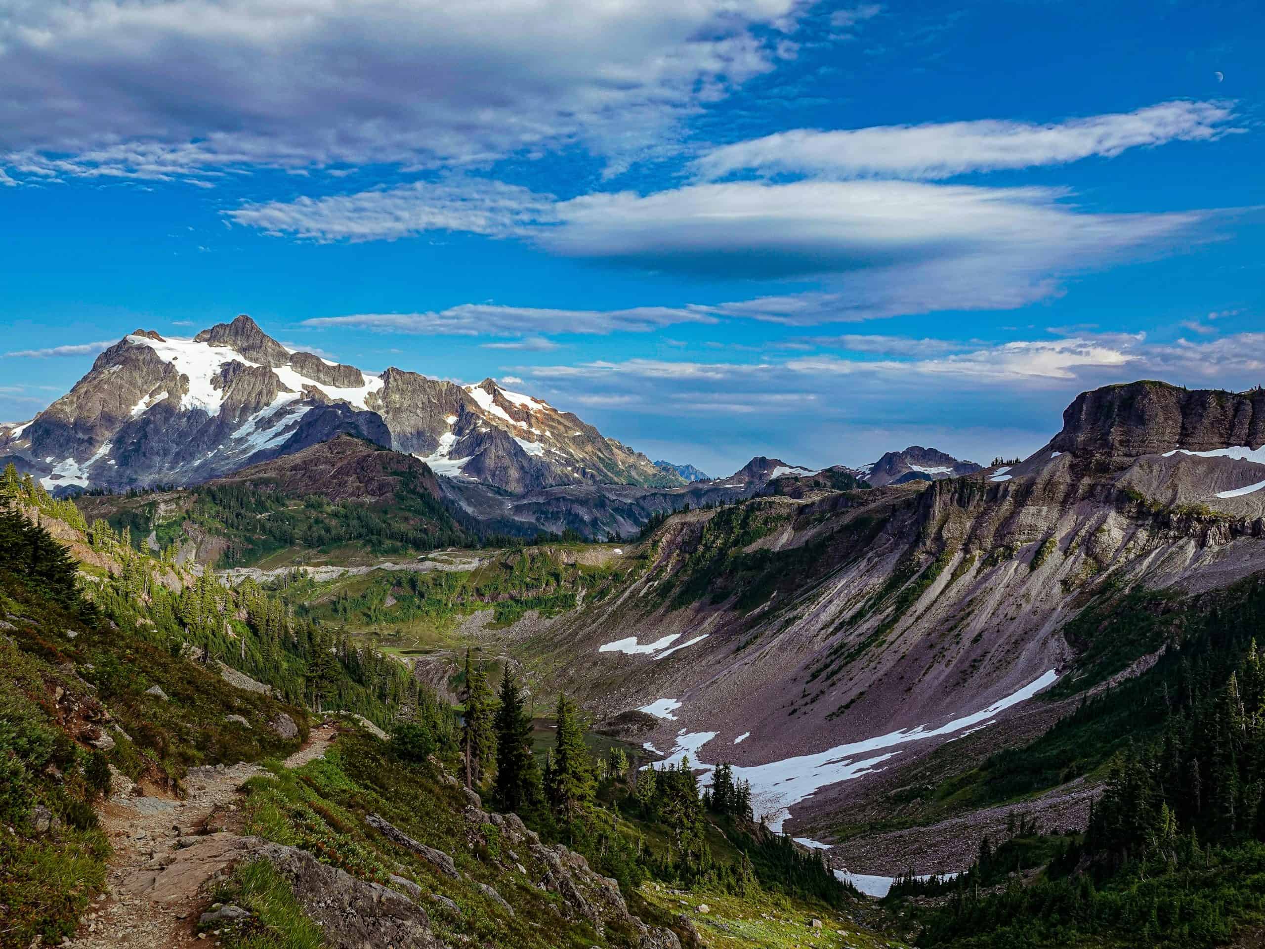
7. Gothic Basin
- Permits: Northwest Forest Pass
- Distance from Seattle: 1 hr + 40 min
- Length: 9.3 mi
- Elevation Gain: 3,146 ft
- Best Time: June – October
- AllTrails Link
- Dogs Allowed: Yes – on leash
This trail starts from Barlow Pass and follows the old Monte Cristo road before turning sharply up into Gothic Basin. The first half of the trail is mild, but the second half gains over 2,500 feet in less than three miles. The trail is rocky, root-filled, and often requires scrambling. It’s a challenging approach, but the views at the top are panoramic.
Gothic Basin itself is a rocky alpine bowl with tarns and scattered campsites. Foggy Lake is the main destination and often icy well into the summer. There’s little cover, and water can be limited later in the season. The area is popular for day hikes, but backpackers get the best experience by staying overnight. No campfires are allowed, and it’s a sensitive zone—practice strict Leave No Trace.
PLAN YOUR TRIP WITH MY FAVORITE TRAVEL RESOURCES
– Best accommodation site: Booking.com
– Book day tours here: Viator
– Best rental car service: Rentalcars.com
8. Second Beach
- Permits: Wilderness Camping Permit
- Distance from Seattle: 4 hrs (includes Ferry)
- Length: 2.2 mi
- Elevation Gain: 291 ft
- Best Time: June – September
- AllTrails Link
- Dogs Allowed: No
Second Beach is one of the most accessible coastal backpacking trips in Washington. The trail is short, well-marked, and leads through forest before opening up to wide ocean views and open sand. Camp right on the beach with the sound of waves and sea stacks rising out of the Pacific just offshore.
It’s perfect for beginner backpackers or anyone wanting to spend the night near the water. Tides, driftwood, and rock formations make it a rewarding stop. Visiting this stretch of the Olympic Coast is a rare way to experience Washington’s wild shoreline up close.

9. Snow Lake and Rock Creek Trail
- Permits: Permits are self-issued at the trailhead
- Distance from Seattle: 1 hr
- Length: 13.4 mi
- Elevation Gain: 4,396 ft
- Best Time: July – October
- AllTrails Link
- Dogs Allowed: Yes – on leash
Snow Lake via the Rock Creek Trail is a quiet alternative to some of the more crowded alpine lakes in Washington. The approach starts from the east side, offering a steady climb through forest before breaking into open meadows and granite terrain. Once you reach the lake, you’ll find clear water, good backcountry camps, and a less-trafficked setting compared to the more popular routes near Snoqualmie.
This trail sits inside the Goat Rocks Wilderness, and it’s best done as an overnight to take in the high basin and surrounding ridgelines. Expect a few steep sections and long stretches without water on the way in, so pack accordingly.

10. Seven Lakes Basin Loop
- Permits: Wilderness Backpacking Permit (must reserve campsites in advance due to limited spots)
- Distance from Seattle: 3.5 hrs (includes Ferry)
- Length: 21.5 mi
- Elevation Gain: 6,197 ft
- Best Time: May – October
- AllTrails Link
- Dogs Allowed: No
Located in Olympic National Park this trail offers wide-open ridge hiking, alpine basins, and all-around epic views. Black bears and mountain goats are common above treeline, and the wildflowers last into mid-August. The loop can be done clockwise or counterclockwise, usually starting at Sol Duc Trailhead and climbing toward Heart Lake.
Camping is regulated with permits and designated zones. Water is seasonal on the ridgelines, so plan refill spots ahead of time. Elevation gain adds up fast, especially on the front half of the loop. Weather changes quickly, and fog can roll in without warning. Trail conditions are generally excellent, with maintained tread and solid signage throughout the loop.
Tip: I bring bear spray on every hike – and this one especially. If you’re going to purchase bear spray, please be careful and learn how to use it ahead of time. I don’t recommend this to those who are unable or for those who do not know how to properly use this.
11. Ptarmigan Ridge + Goat Lake
- Permits: Federal Recreation Pass (also known as the America the Beautiful Pass)
- Distance from Seattle: 2 hrs
- Length: 11.8 mi
- Elevation Gain: 2,424 ft
- Best Time: July – October
- AllTrails Link
- Dogs Allowed: Yes – on leash
This out-and-back trail follows a section of the Ptarmigan Ridge Trail near Mount Baker. It’s exposed for most of the route, with almost constant views of glaciers, peaks, and volcanic rock. Late-season snowfields are common near Goat Lake, and traction may be needed. The final mile is usually off-trail or over faint user paths.
Campsites near Goat Lake are limited and often sit above 6,000 feet, so exposure is real. Water is only available early season unless you melt snow. This isn’t a good choice for bad weather. Clear conditions open up expansive views across the North Cascades. Most hikers don’t go beyond the day-use zone, so backpackers often get the upper basin to themselves.
12. Buckhorn Mountain SW Summit via Big Quilcene and Tubal Cain
- Permits: Northwest Forest Pass
- Distance from Seattle: 2 hrs
- Length: 12.2 mi
- Elevation Gain: 4,625 ft
- Best Time: June – October
- AllTrails Link
- Dogs Allowed: Yes – on leash
Buckhorn Mountain’s southwest summit via Big Quilcene and Tubal Cain brings steady elevation, wide ridge lines, and full exposure to the Olympic high country. This route links forest, alpine basins, and old mining relics before opening up into a wide bowl below the summit. The trail is in solid shape but gains fast after the junction with the Tubal Cain Trail.
Backpackers come for open camping zones, mountain views across the eastern Olympics, and reliable summer access. It’s a great option for experienced hikers looking for a high camp without heavy permit restrictions.

13. Wonderland Trail
- Permits: Wilderness Permit + National Park Pass
- Distance from Seattle: 2 hrs + 30 min
- Length: Varies – depends on lottery/walk-up permit
- Elevation Varies – depends on lottery/walk-up permit
- Best Time: July – September
- AllTrails Link
- Dogs Allowed: No
- ❗️*Bugs are gnarly – don’t forget bug spray!*
The Wonderland Trail wraps around Mount Rainier for 93 miles, with some of the most iconic backcountry in the state. For most, section hiking is more realistic and just as rewarding. Each segment has unique terrain—river crossings, alpine meadows, moraine fields. Elevation gain across sections is relentless and not to be underestimated.
Even the shorter sections pack 3,000–4,000 feet per day. Water is frequent, elevation is steady and steep, camps are spaced out well, and park rules are tight—permits are required and checked.
Early access lottery opens in February and closes mid-March. You might get a full route or only a section. If you don’t win, there’s a walk-up option—but it’s rare to land a solid itinerary that way. Planning ahead matters on this one.
Tip: Spray Park and Summerland draw the most attention, but Northern Loop and Ipsut Pass give stronger climbs and fewer crowds.

🔥 IMPORTANT: Overnight Backpacking Prep
Before heading out, know how to use every piece of gear you’re carrying.
Don’t figure out your stove, water filter, or tent setup at camp—run a full test at home or your local park.
Respecting the Outdoors
✅ Pooping in the woods
Use a trowel. Dig 6–8 inches deep, 200 feet from water, trail, or camp. Pack out used toilet paper in a zip bag (I use dog poop bags because they aren’t see through like most zip bags).
Note: Some zones require a “WAG bag”—check before you go.
What’s a WAG bag? It’s a certain bag used to contain human waste where traditional sanitation is unavailable.
✅ Food + trash
Pack out everything. No peels, no pits, no crumbs. Don’t toss food waste “because it’s natural.” It isn’t. Animals learn fast.
✅ Bear canisters
Some areas require bear canisters, others strongly recommend. I always bring a canister and a ultralight bear bag that is used to hang food in trees.
Backpacker’s Tip: Bear spray is another safety measure while exploring the ourdoors. Please read the instructions and know how to properly use this item before stepping off.
*I do not recommend all individuals to use this due to safety concerns*
✅ Wildlife
Don’t feed or follow the locals (aka wildlife). Watch from a distance. Let them move on.
✅ Leave No Trace
Stick to durable surfaces, keep group size reasonable, and stay on the trail. If you carry it in, carry it out.

Conclusion: Best Overnight Backpacking in Washington
Summer doesn’t last long in the Pacific Northwest, but that’s okay because it is a magical time of the year. These trails are made for long daylight, solid weather windows, and getting outside the usual loop. Every route that I have listed above brings a mix of effort and reward without the crowd that comes with the top search hits.
I hope this guide leads you to more remote backpacking with less people and epic views. Stay safe out there and cherish those crisp mornings and rad sunsets.
Happy Trails,
Mindful PNW Travels